

Build a crop segmentation machine learning model with Planet data and Amazon SageMaker geospatial capabilities
AWS Machine Learning Blog
SEPTEMBER 29, 2023
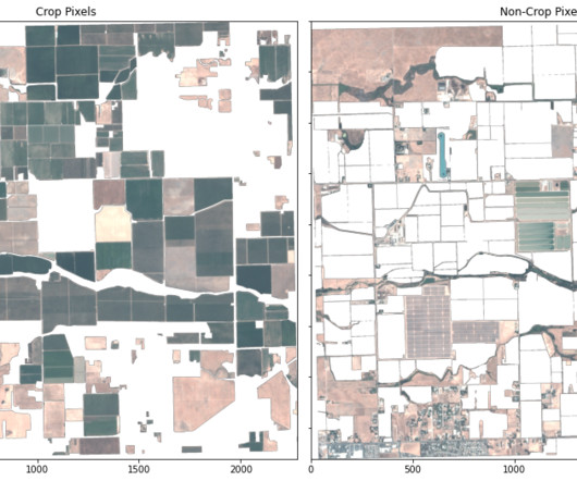
For example, satellite imagery archives can be used to track changes in a crop growing region over time. Our results reveal that the classification from the KNN model is more accurately representative of the state of the current crop field in 2017 than the ground truth classification data from 2015.


Let's personalize your content